Choose_GeoPackage_in_QuantumGIS.
# Pre
There is a section that line segment data are indispensable when I design an animated route map for a journey. But somehow I couldn’t manage to split lines into segments with any tools I could think of. The log reads some Python errors occur.
Within a day of thinking, tumbling in my bed, I finally found my mistake in the type of the data. It shouldn’t be ESRI Shapefile. Literally, you could new a GeoPackage or even a Temporary Scratch Layer then use them instead of ESRI Shapefile to do the analysis. And the following paragraphs will show you a bunch of tools that could be used to split lines into segments at an interval.
# v.split
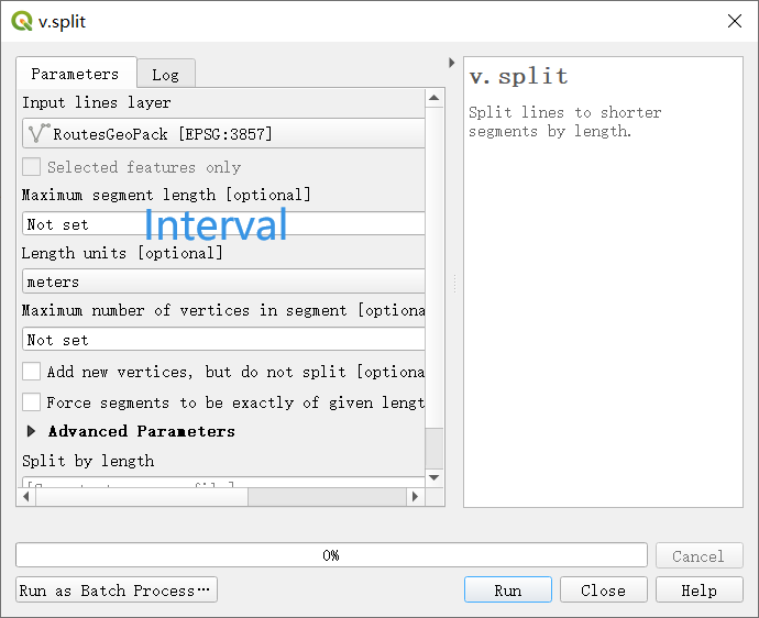
v.split help you split vector lines into segments with an interval automatically. You can easily search v.split in Processing Toolbox if you don’t want to look for it in GRASS directory.
